
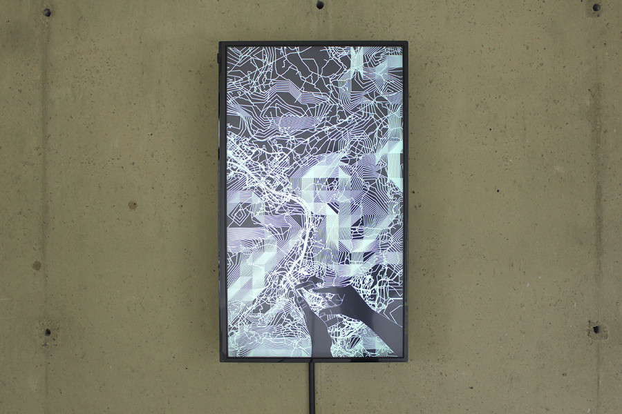
Invisible Layers (2015) takes as its starting point the mismatch between experience of the infrastructural landscape and the way this landscape is imaged. The piece uses terrain data from the United States Geographical Service and map data from the crowd-sourced Open Street Map to compile intricate, layered views of the locations of the head offices of major smartphone manufacturers.
Maps are most commonly viewed on digital devices – SatNavs or smartphones – and smartphones in particular offer the opportunity to browse, never alighting upon an image long enough that it can be properly absorbed or fully assimilated. The reductive and diagrammatic visual language of infrastructural mapping is designed to be purely functional, and has a very clear aesthetic. This piece places this visually complex overview in the context of relentlessly inattentive consumption and disposal of digitally mediated images.
Terminus, The Scottish Queen, Sheffield, August–September 2015
Year: 2015
Media: Looped animation
Commissioning Info: commissioned by Tinsley Art Project